We don’t replace your team; we enhance your process and help you scale
by easing workloads or automating processes.
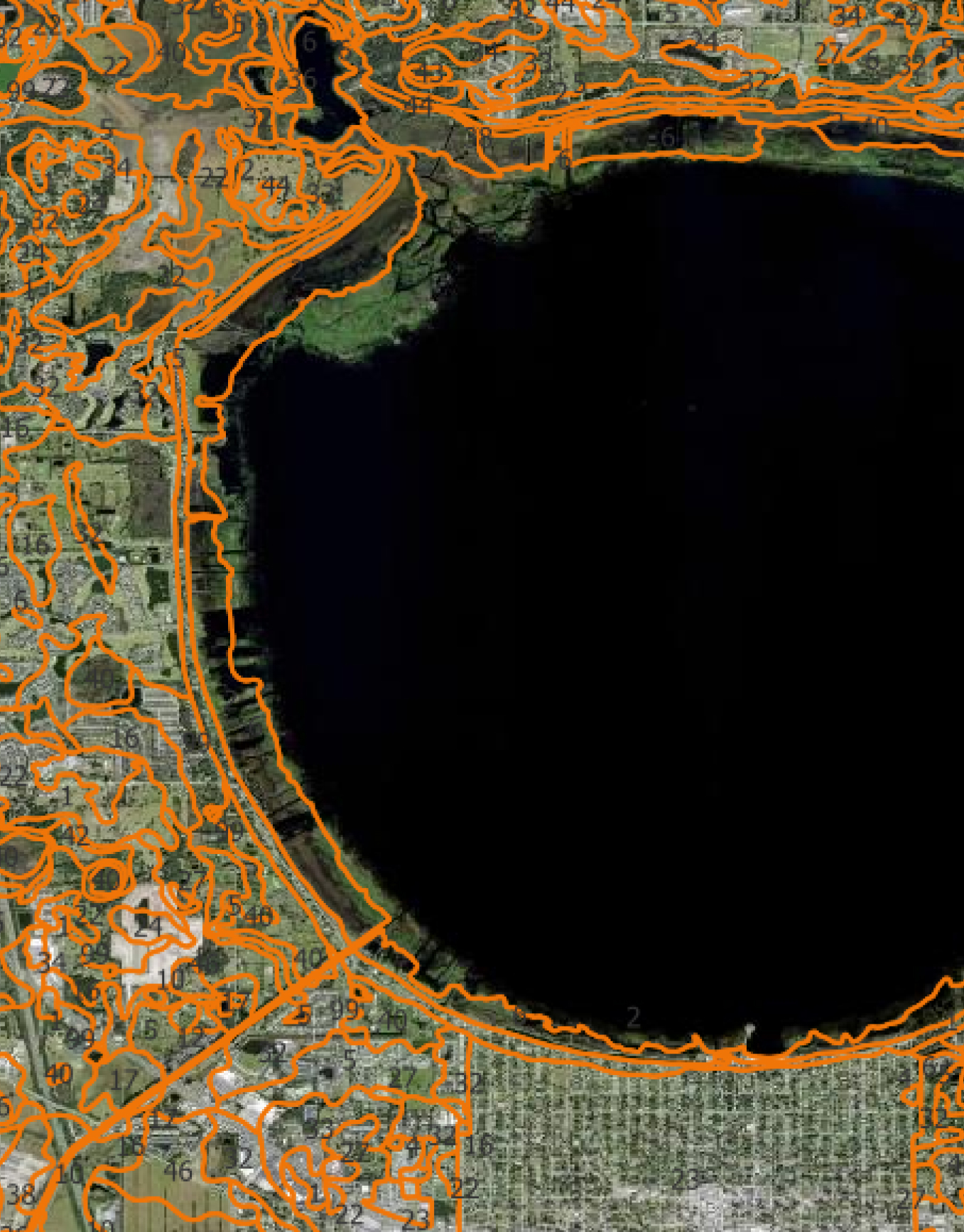
Accurate data is the foundation of every great project. We assist surveyors and mapping professionals with precise drafting and GIS mapping services that ensure clarity and efficiency.
We provide the tools you need to plan with confidence.
Enhance your survey and mapping deliverables with drafting and GIS services designed to meet industry standards and exceed expectations.
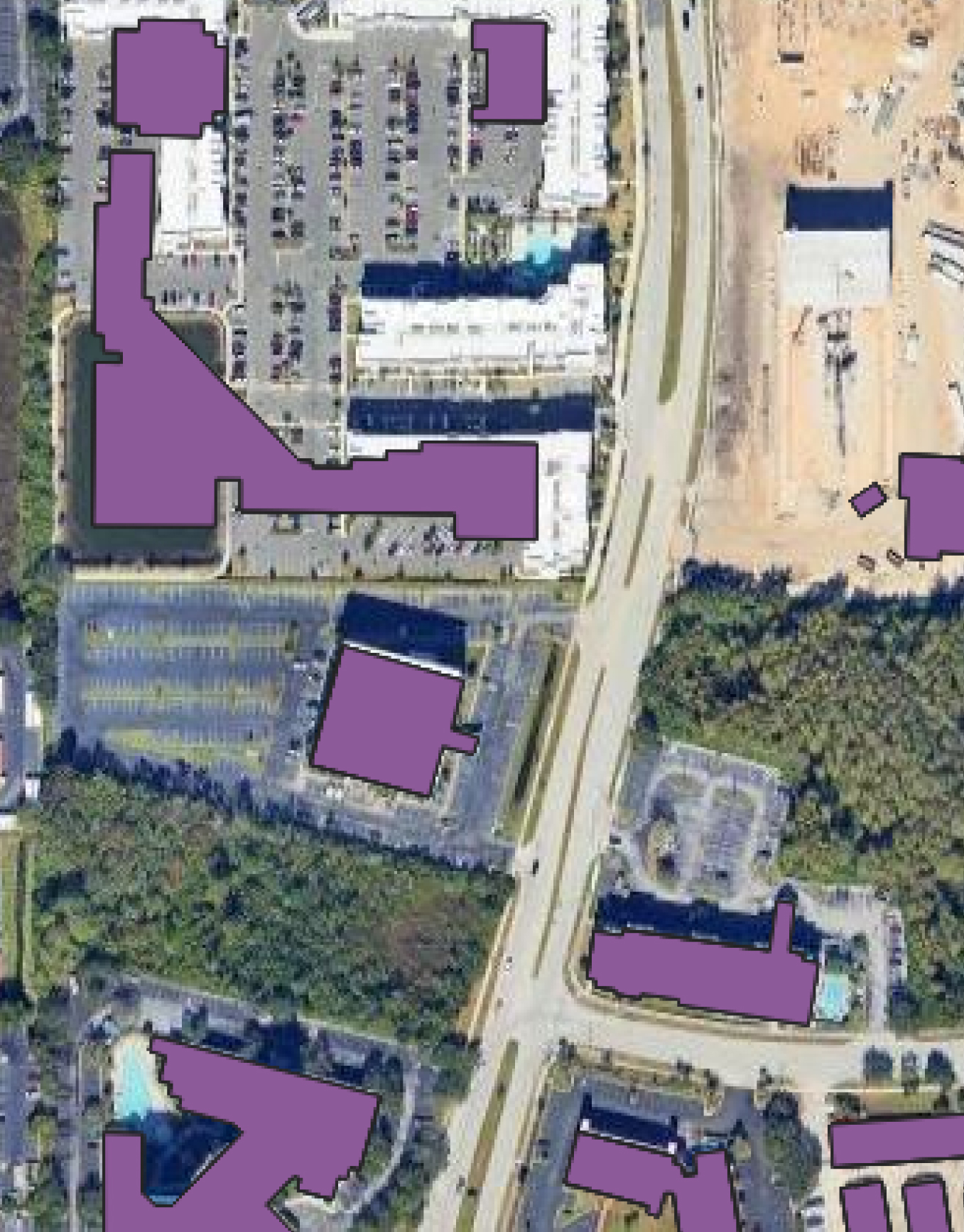
- Land Parcels and Property Lines
- Topographic Surveys
- Site Plans
- Utility Mapping
- Elevation Profiles
- GIS Services: Spatial Data Analysis, Thematic Mapping, and Geospatial Visualization
Looking for a partner to help you create an exceptional project?
Our team is committed to providing you with the highest quality design services, the PMI-based approach ensures projects are delivered on time and within budget.